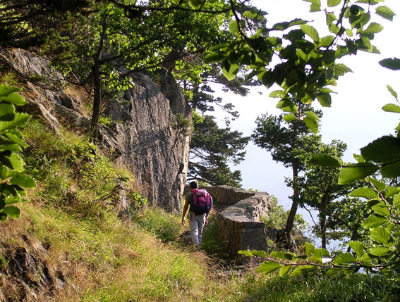
Pour télécharger directement les points, cliquez sur l'image ci-dessous
Les coordonnées sont au format WGS84.
| Péguère | |||
| Nord | Ouest | ||
| PEGU01 | 1262m | 42°51'45.4" | 0°07'13.8" |
| PEGU02 | 1400m | 42°51'53.8" | 0°07'15.2" |
| PEGU03 | 1600m | 42°52'10.2" | 0°07'06.1" |
| PEGU04 | 1608m | 42°52'08.0" | 0°07'10.9" |
| PEGU05 | 1800m | 42°52'16.6" | 0°07'11.7" |
| PEGU06 | 1855m | 42°52'22.1" | 0°07'17.2" |
| PEGU07 | 1985m | 42°52'28.6" | 0°07'22.0" |
| PEGU08 | 2020m | 42°52'31.7" | 0°07'28.2" |
| PEGU09 | 2030m | 42°52'32.9" | 0°07'32.5" |
| PEGU10 | 2070m | 42°52'26.3" | 0°07'39.5" |
| PEGU11 | 2135m | 42°52'18.3" | 0°07'53.4" |
| PEGU12 | 2125m | 42°52'16.4" | 0°07'56.7" |
| PEGU13 | 2316m | 42°52'08.0" | 0°07'56.2" |
|
Pour télécharger directement les points, cliquez sur l'image ci-dessous
|
|||
| Les
points ont été calculés sur la carte à posteriori, ils sont tous bien
implantés sur l'itinéraire, mais peuvent se trouver légèrement
décalés par rapport aux points particuliers indiqués sur le topo
correspondant...
Les coordonnées sont au format WGS84. |
|||